
LAURINBURG — A new partnership could mean filling the gaps when detecting inclement weather throughout Scotland County and the surrounding region.
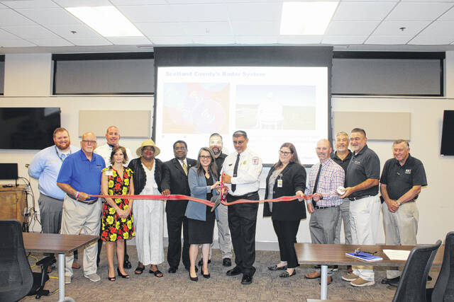
The Laurinburg Scotland County Area Chamber of Commerce recently gathered at the Scotland County Emergency Operations Center to cut a ribbon signifying a blooming partnership between the county’s EOC and Climavision.
“Time saves lives, at the end of the day that’s what this is about,” said Scotland County Public Safety Director Robert Sampson.
Backed by The Rise Fund, Climavision is an organization focused on closing “significant weather observation gaps and drastically improving forecast speed and accuracy.”
Climavision selected Scotland County as the site of its dual-polarization X-Band weather radar site, which was installed in February atop the Westpoint Stevens water tower on Airbase Road near Wagram.
“Scotland County, you are perfectly geographically located in the center of what we call this low-level gap,” said Tara Goode, vice president of Strategic Partnerships for Climavision. “The beam of energy from the nearest National Weather Service system is hitting your head probably eight to ten thousand feet up in the air.”
With the installation, the county’s communication center is now set up to monitor Climavision weather radar data in the low-level gap.
“They (the radar detectors) are operating 24 hours a day collecting data. We have meteorologists with eyes on them all the time, we have partners with eyes on them all the time and we have several case studies … that not only show the lifesaving but also the planning capabilities that these systems have,” Goode said.
Scotland County Commissioner Whit Gibson said he spent significant time in Emergency Operation Center in 2018 during Hurrican Florlenne.
“What I found then is that data is important. Accurate data saves time, saves money and saves lives,” Gibson said.
“I thought we were already doing good but there’s always better and now we are better … Thank god that we got this new radar installation system here and that we can be aware well in advance of what’s coming and what we can do,” Laurinburg Mayor Pro Tem Mary Evans said.
Filling the gaps
The radar is explicitly designed to fill low-level gaps in the atmosphere to provide the highest-resolution view of what’s happening nearest to the ground, according to Climavision. Since the 1990s, the National Weather Service has monitored severe weather over North Carolina using NEXRAD S-band radars.
“When it comes to inclement weather, severe weather, we get all our weather [data] from the North Carolina National Weather Service out of Raleigh and they are a huge partnership and there’s no way we would be successful in the emergency management side of things without them,” Sampson said.
Sampson said that his department has discovered that they are sometimes delayed in getting notifications about inclement weather that is happening in real time due to “where this weather is generated in the atmosphere.’
According to Climavision, gaps can exist between these systems as the radar beam moves higher in the atmosphere the further it gets from the radar location. This leaves some areas — including Charlotte, the Piedmont Triad and much of Central North Carolina — exposed to weather phenomena that often occur in the lower atmosphere, such as flash flooding, sleet, ice and tornadoes.
“Now that we have Climavision in our own backyard, what that will allow is we still get our weather [data] from the North Carolina National Weather Service out Raleigh … But, now we can get real-time data as weather approaches,” Sampson said.
Goode and Sampson reiterated that the system is a supplement, not a replacement.
“The weather radar that we installed here is not meant to replace or serve as a different tool than what the National Weather Service uses … They have the gold standard of weather radar now,” Goode said.
But, the NWS radar systems have some limitations.
“Weather gaps exist essentially when there is a gap between the ground and the highest level of the beam of energy coming from the weather radar system,” Goode said.
This problem is a familiar one.
“Ever since the National Weather Service systems rolled out many years ago, they were placed in strategic locations to cover population centers,” Goode said.
The National Weather Service was strategic in placement partly because of cost.
“It’s very expensive to install the type of weather radar system the National Weather Service has today,” Goode said.
According to Goode, the NWS relies on companies like Climavision to incorporate smaller systems that fill these gaps.
Sampson the county’s EOC d will keep its partnership with the National Weather Service.
“Bringing Climavision on board is just another tool in the toolbox for us,” Sampson said.